
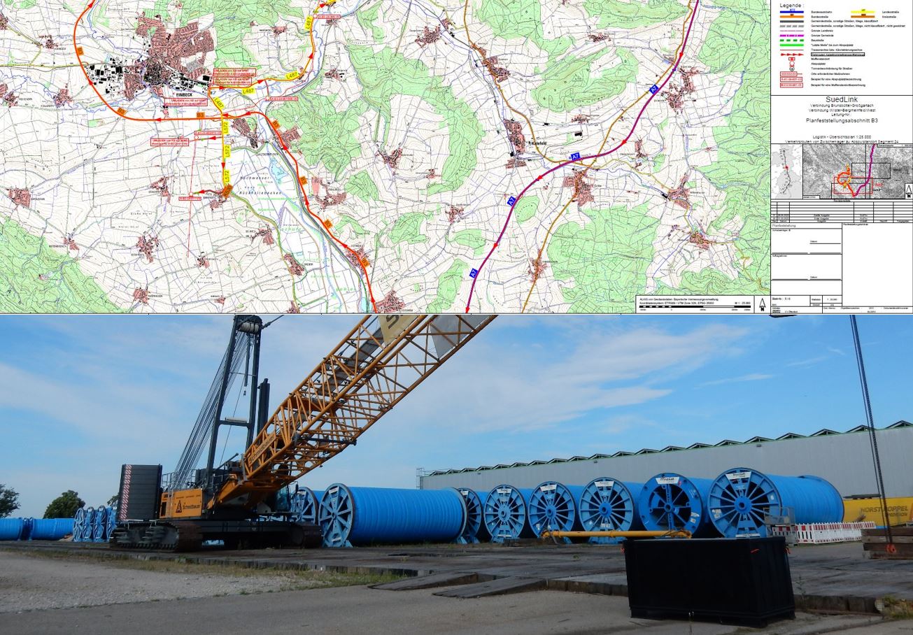
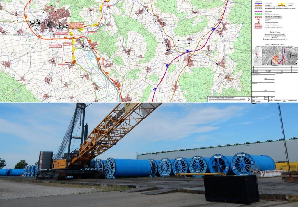
In July 2021, we were commissioned by a German engineering company to digitise the transport routes for cable drums for the SuedLink project and to produce mapping material.
These heavy-haul transports, with cargo weights of up to 100 tonnes and a diameter of approximately 4.5 metres, required precise planning in order not to disrupt the scheduling coordination with other parties involved in the construction activities.
Scope of Work
All relevant information required for heavy-haul road transport had to be extracted from the route survey reports prepared in advance and incorporated into the mapping material. Uncertainties and discrepancies were assessed for feasibility.
This included:
• Suitability of transshipment areas for the
cable drums
• Precise access to the cable pay-off
locations
• Road classifications and their
characteristics
• Weight restriction regulations
• Joint locations
• Locations requiring special measures
The 700 km cable route from Brunsbüttel to Großgartach/Leingarten is used to transport green electricity from north to south.
Implementation
• Total duration: 3 years (approx. 1,000 working hours)
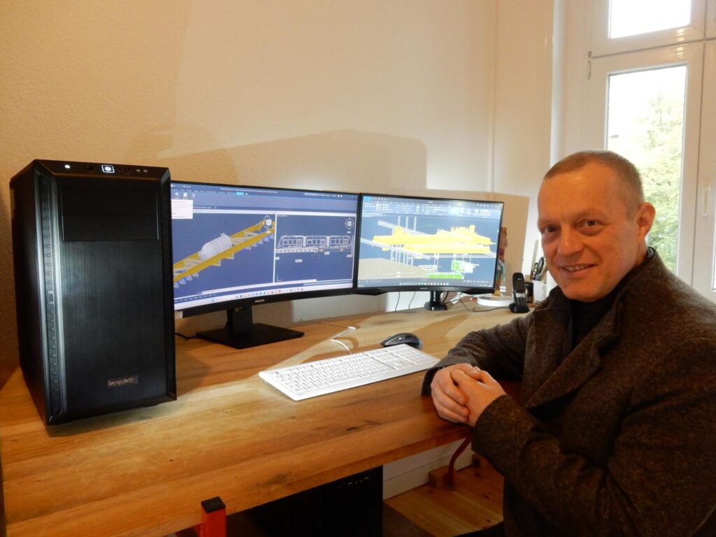
• Software: AutoCAD Map, Heavy Goods, AutoTURN Pro
The data base (route survey reports + project documentation) comprised 150 GB.
As the project was further specified during its implementation and numerous changes occurred, cooperation with additional engineering firms was indispensable. The maps produced were subsequently integrated into a BIM system (Building Information Modeling), whose georeferencing served as the common reference for all companies.