
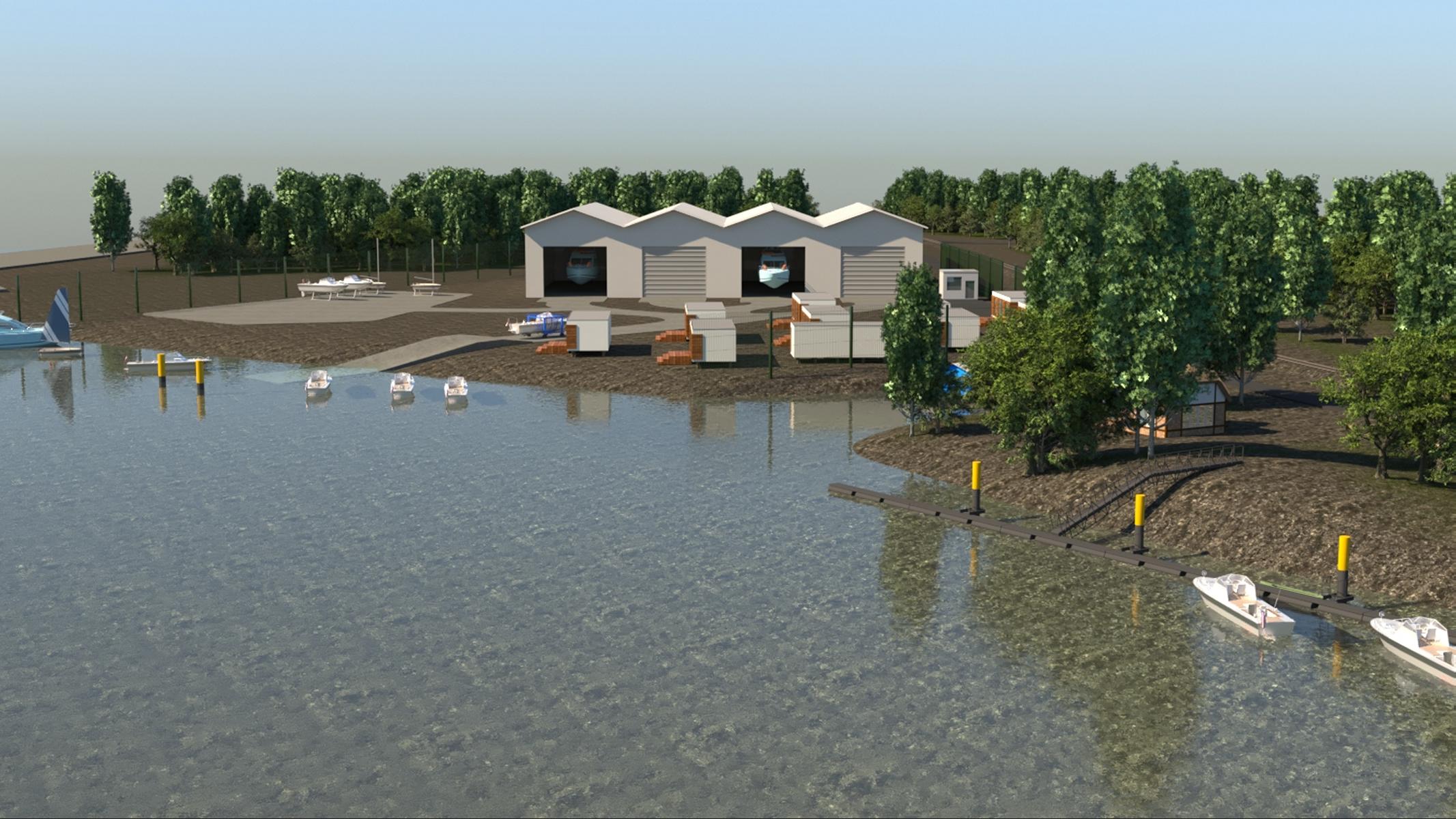
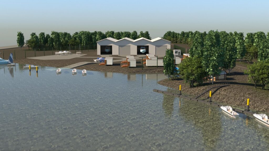
For a maritime services company, we prepared the presentation materials for the concept of a boat landing facility for recreational use.
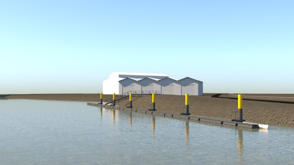
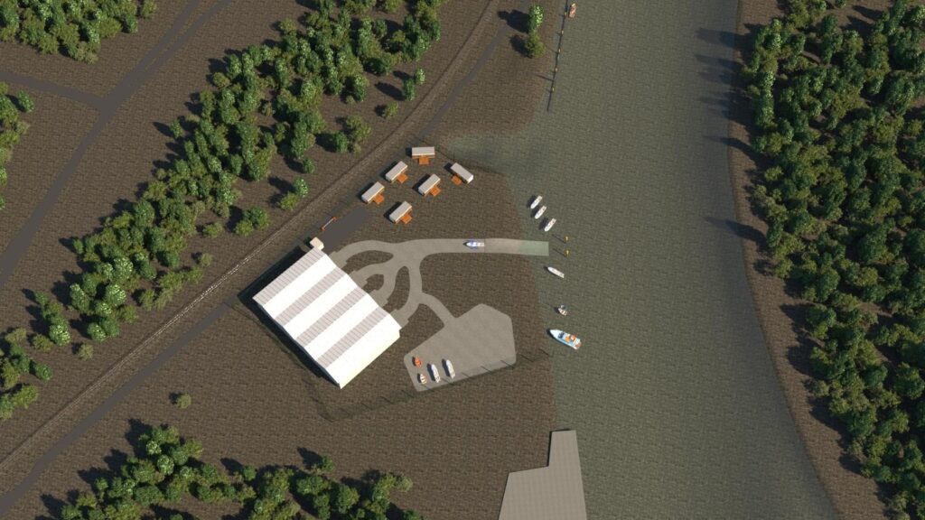
The construction of a boat landing facility was being considered for a location on a river in northern Germany. A visualisation of the planned facility was required to support the discussions. The visualisation was created as a 3D model.
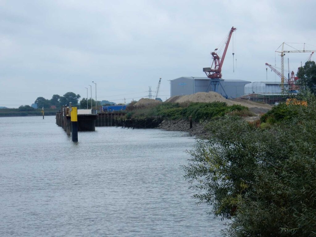
The model was based, among other things, on information from the cadastral office and our own site surveys. Existing features such as roads, buildings, facilities, riverbanks and paths were also surveyed.
The planned buildings and infrastructure facilities were then integrated into this model of the existing situation.
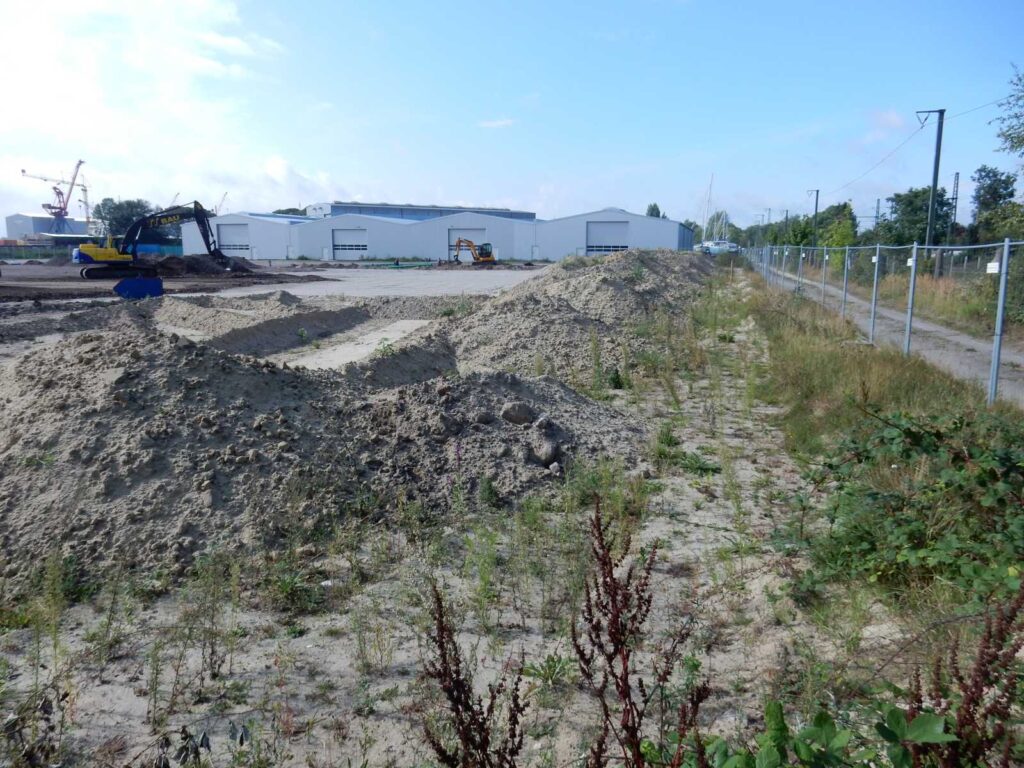
The data were subsequently processed into an overall model, which was georeferenced.
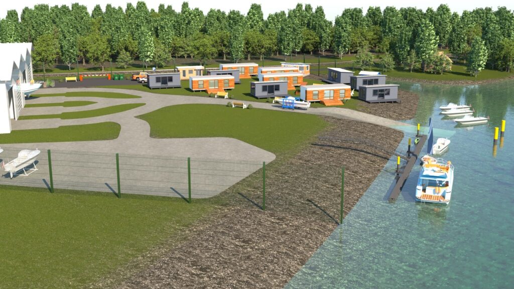
3D visualisations and renderings were created to illustrate the project in the planning phase.
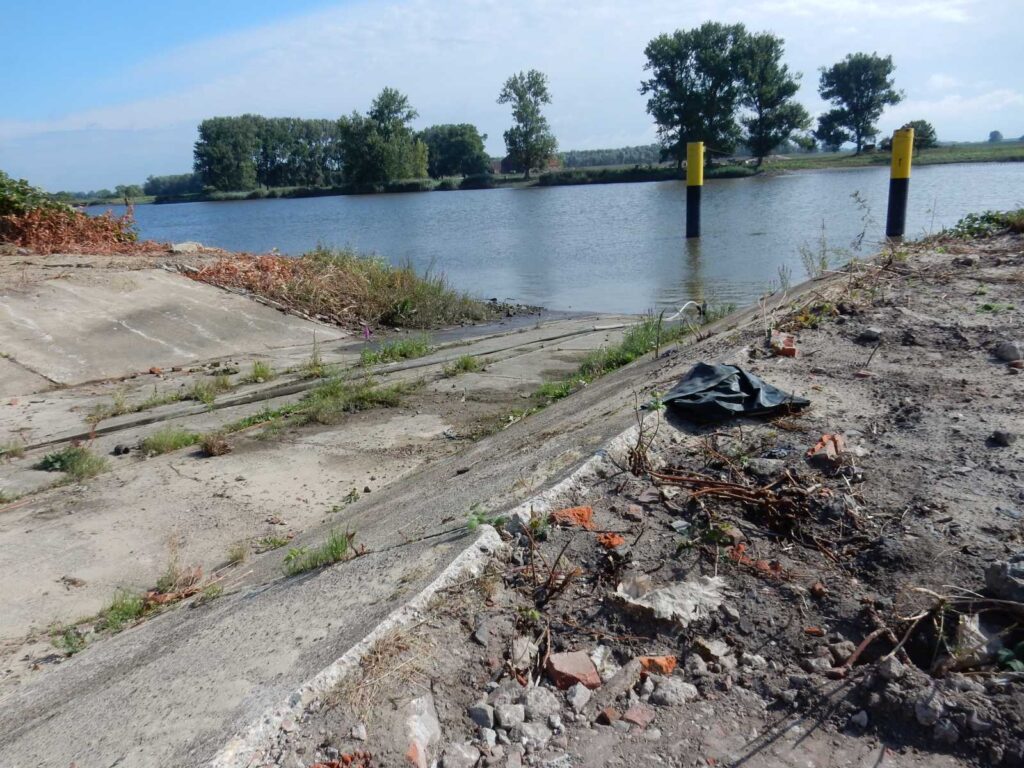
This resulted in 3D PDF models that could be rotated and enlarged to examine details.
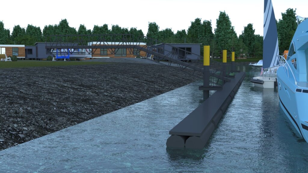
The geospatial data and project data were exported in common CAD, GIS and exchange formats such as DWG, DXF, IFC and LAS, as well as 2D PDF and JPG / PNG formats, for further processing and presentation.
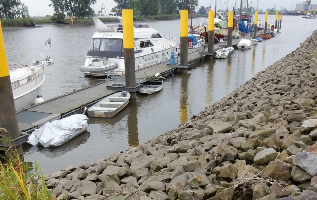
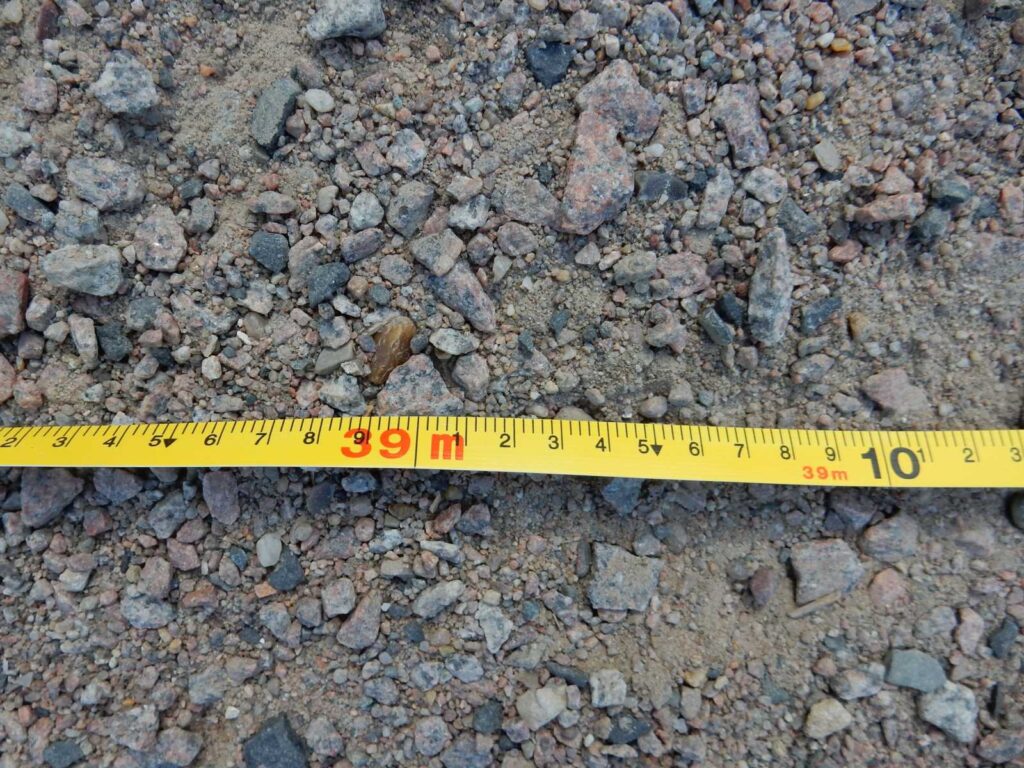
The model was also used to determine material quantities, particularly for sand, crushed stone/gravel, concrete, steel, timber, water engineering stones and other fill materials (excavated material, fill).
The project status was continuously coordinated with the client in almost daily online meetings. This allowed requests, ideas and specifications to be implemented promptly without time-consuming rounds of revisions.
The concepts and models developed served as the basis for the client’s further project decisions.