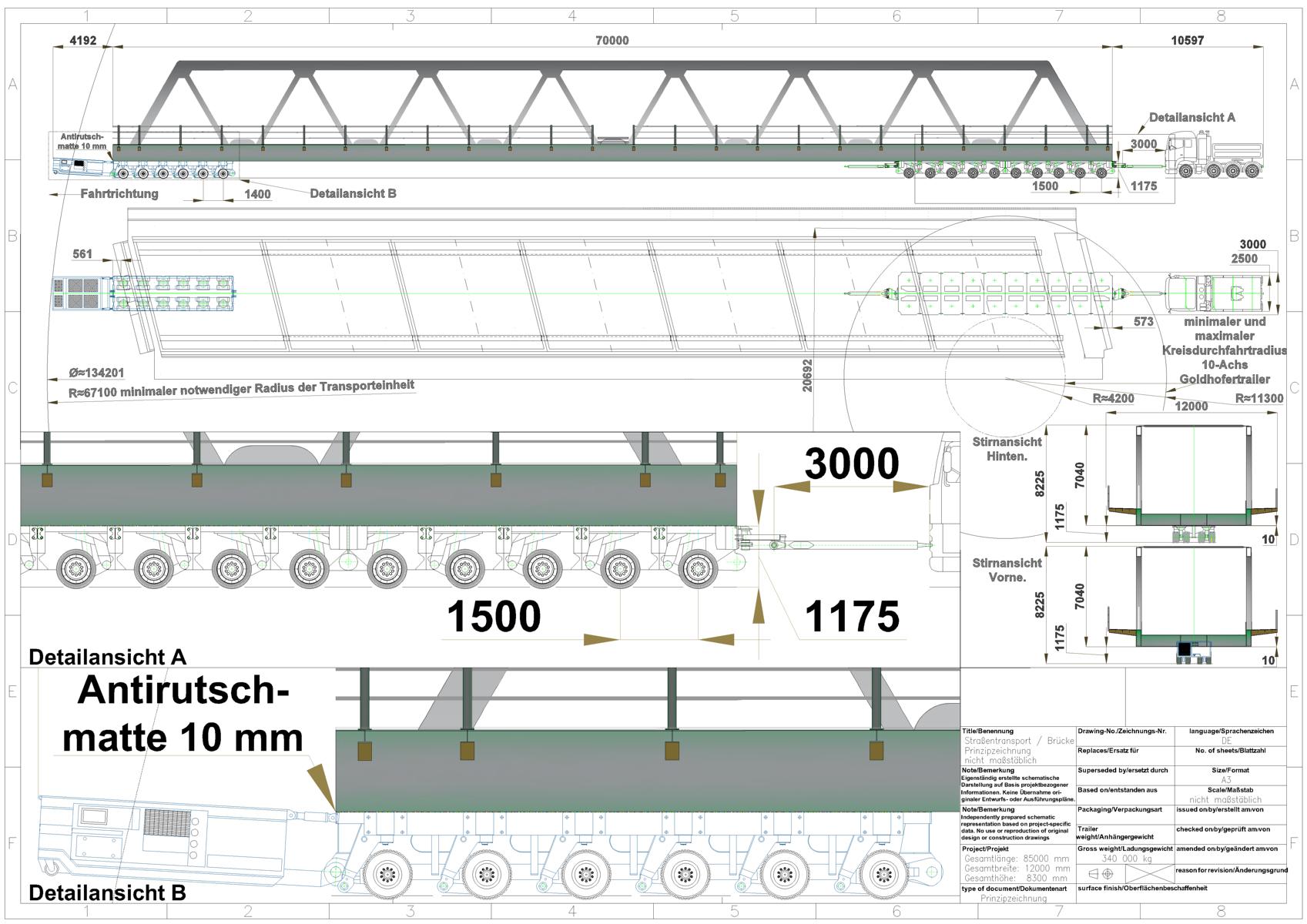
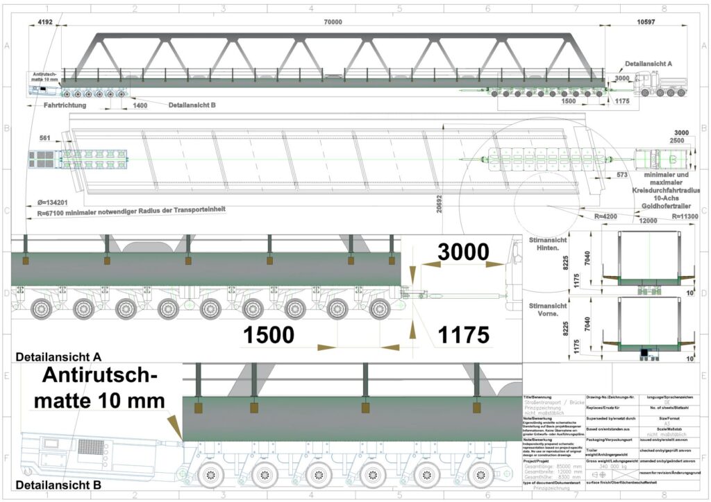
We were commissioned by a haulage contractor to carry out a route survey for the transport of a bridge and to prepare CAD-based transport drawings.
Preliminary Assessment:
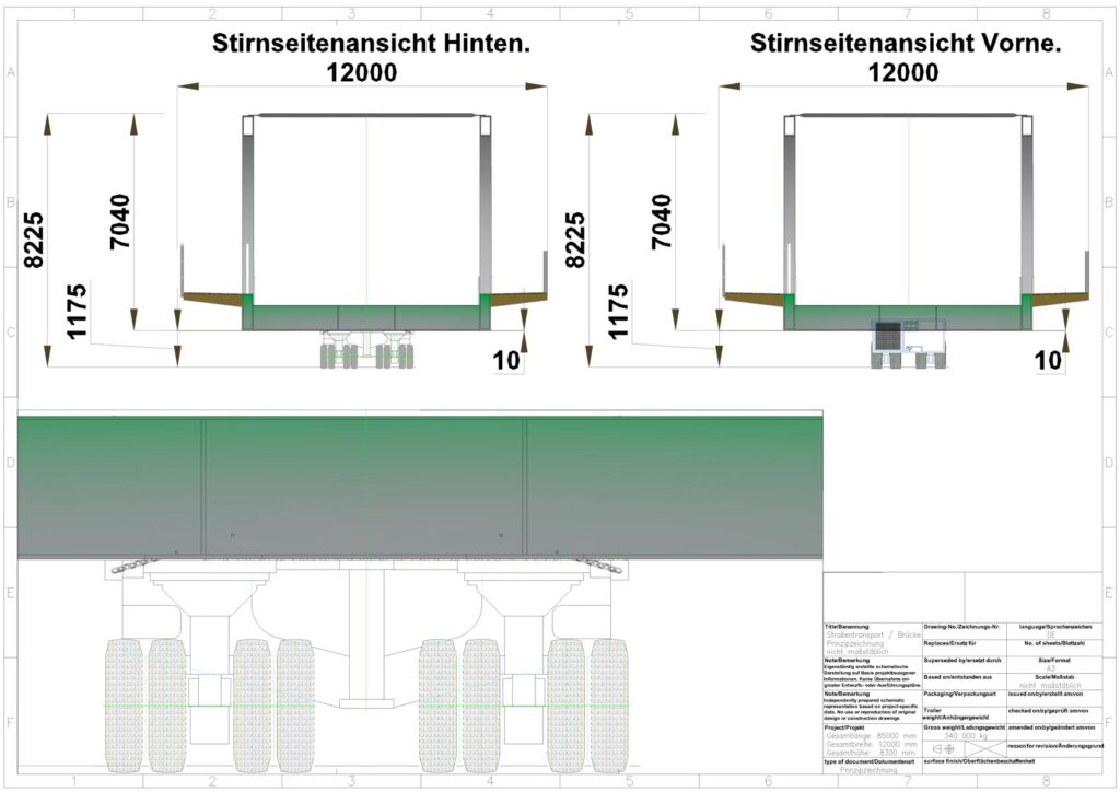
Due to the transport dimensions of approximately 85 × 12 × 8.3 m (cargo + steering yoke + scissor unit + tractor unit) and a total weight of approximately 525 t, weight was not the primary issue. The main focus was instead on the geometric constraints, particularly the exceptional overall length.
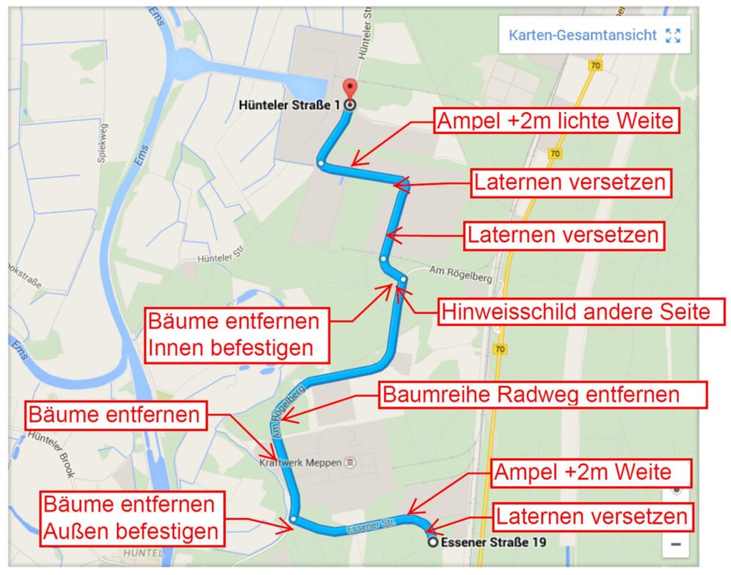
The heavy-haul transport was to be carried out using 6-axle SPMT modules at the front, with an axle load of 40 t, and Goldhofer UT 10-axle THP/SL10 modules at the rear, with an axle load of 25 t. A suitable transport route was identified from Essener Straße in 49719 Meppen to the Eurohafen in 49733 Haren (Ems).
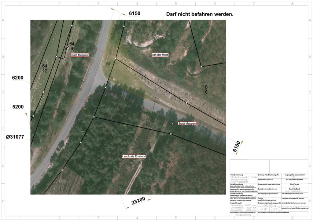
Information provided by the cadastral office was used to support the route selection, including surveying points, digital terrain models, property boundaries, building outlines and road surfaces.
Following careful assessment, a feasible route with a total length of 4.5 km was established and documented, including the traffic management measures required for the transport.
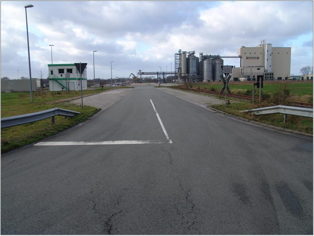
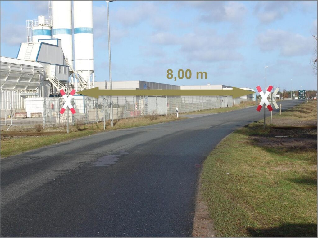
The route survey documentation recorded, among other things, available passage widths, including at railway crossings equipped with St Andrew’s crosses, as well as clearance heights involving streetlights, bollards, electrical cabinets, guardrails, traffic signs and warning barriers. Utility lines, railway infrastructure, traffic lights and fence heights were also documented where relevant to ensuring unobstructed passage of the transport unit.
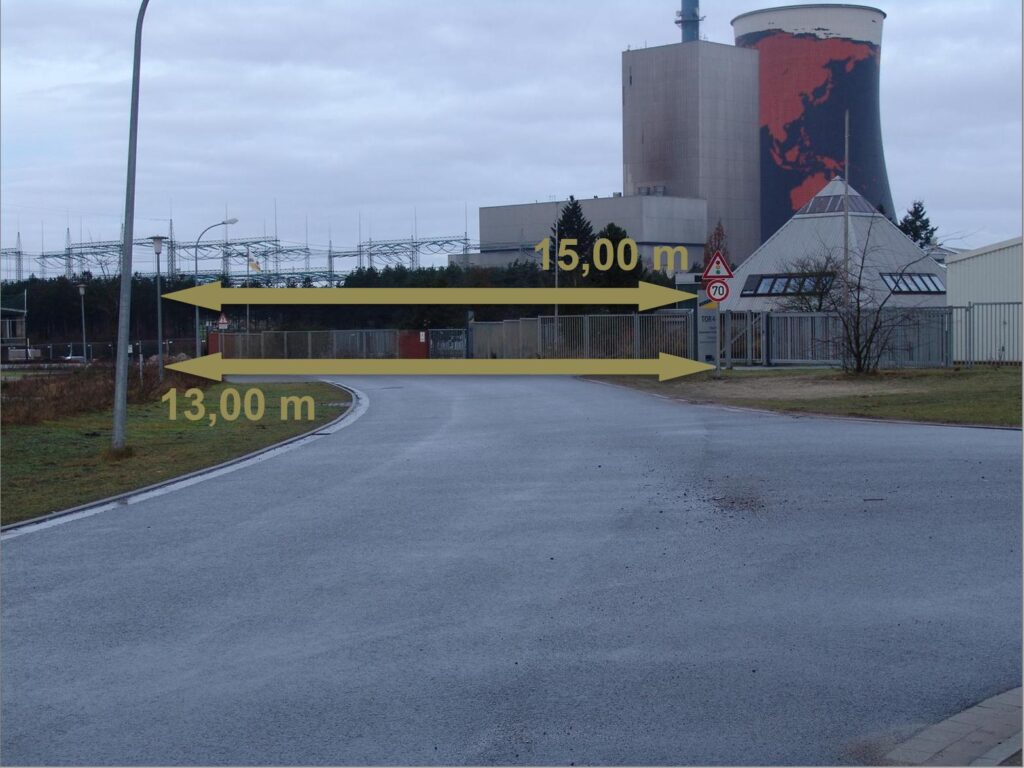
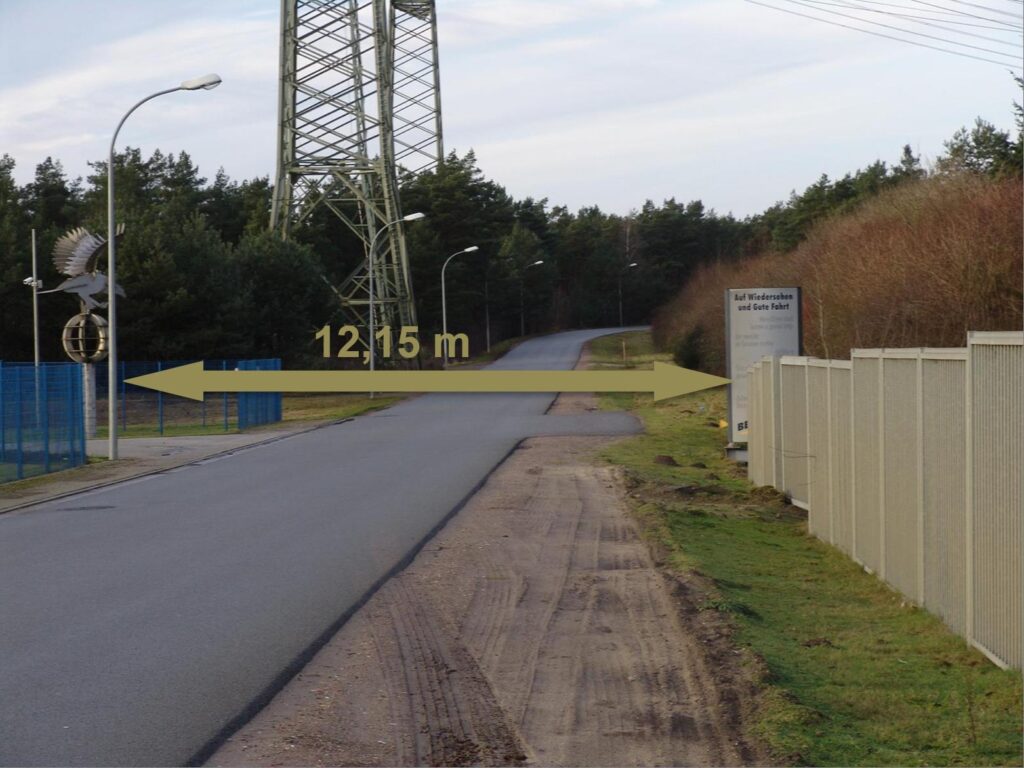
The survey also documented locations where additional space might need to be created by constructing temporary access spurs in order to ease turning radii. The required traffic management measures were also described, including the temporary removal of traffic signs (including those at railway crossings), traffic lights and railings belonging to adjacent properties.
Discussions with people familiar with the local area proved valuable during the route survey. They provided useful information for determining the route, as they were familiar with the local conditions and current site-specific circumstances.