
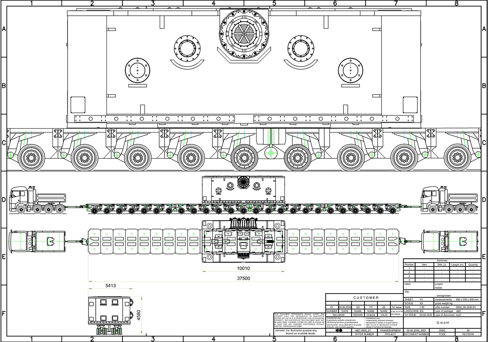
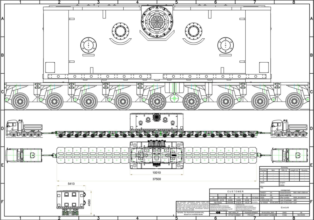
Feasibility assessment for the heavy-haul transport of a 250 t press component from Straubing (port) to Niederaichbach for a South Korean manufacturer.
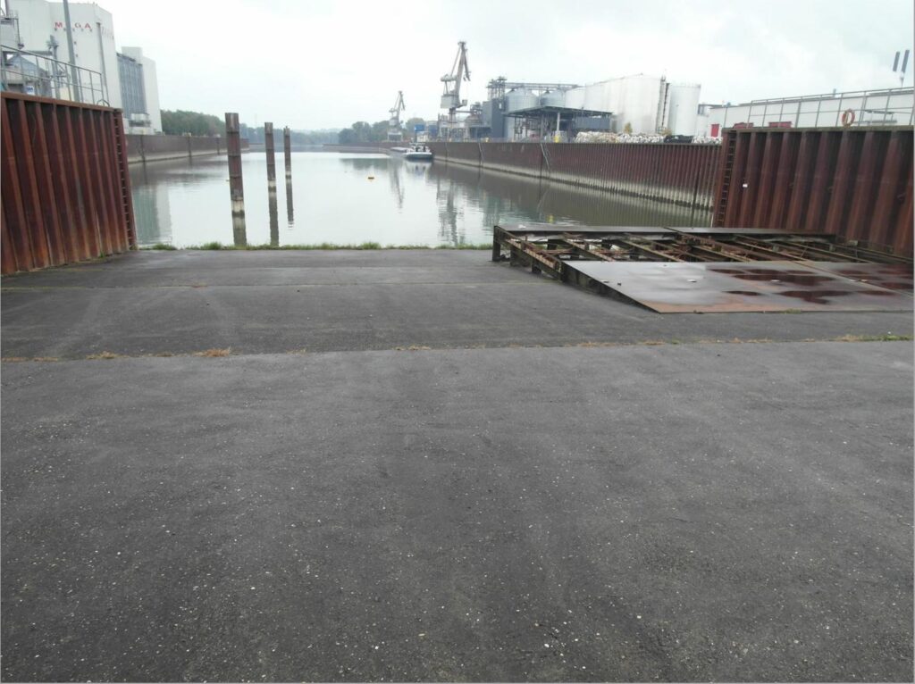
It was intended to deliver the cargo from Rotterdam by waterway via the Rhine, Main, Main-Danube Canal and Danube to Straubing.
As the water level at the Danube port in Straubing was low, the client specified a RoRo vessel as the starting point for the heavy-haul road transport.
Information on the Straubing-Sand Danube Port
Port basin: Length: 700 m, Width: 90 m
Quay wall: Total length 1,050 m
(vertical sheet-pile wall at the north and south quays)
Turning basin: Diameter: 120 m
Infrastructure:
• Fuel and water bunkering facilities
available
• Double-track railway access on both quay
sides
• Roll-on/Roll-off facility
• Head ramp at the west quay
• Longitudinal gradient: max. 10%
Passable with 14 axles (axle load up to 30 t)
Heavy-load slab:
Material: Reinforced concrete slab on bored and driven piles
Dimensions: 60 m length, 17.45 m width
Bearing pressure:
1 × 1 m: 200 t
1.8 × 1.2 m: 350 t
As a first step, the possibilities for unloading the press at the Straubing port as the interface were examined, followed by an assessment of the transport route of more than 70 km.
In order to limit axle loads and avoid transshipment operations, it was necessary to increase the number of axles. Therefore, a transport vehicle consisting of multiple axle modules with a total of 25 axles was planned.
The map-based preliminary analysis showed that it would be necessary to bypass bridges along the route that did not have sufficient load-bearing capacity.
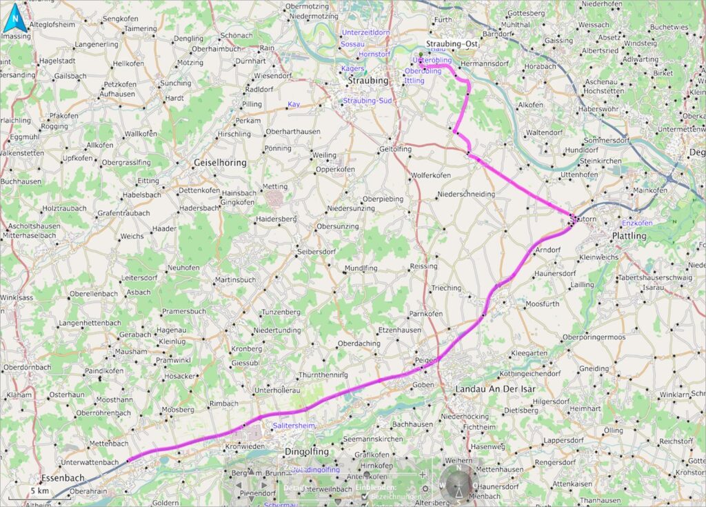
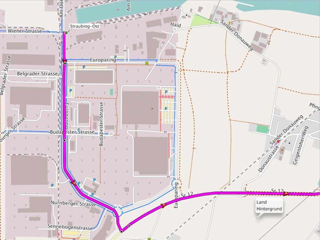
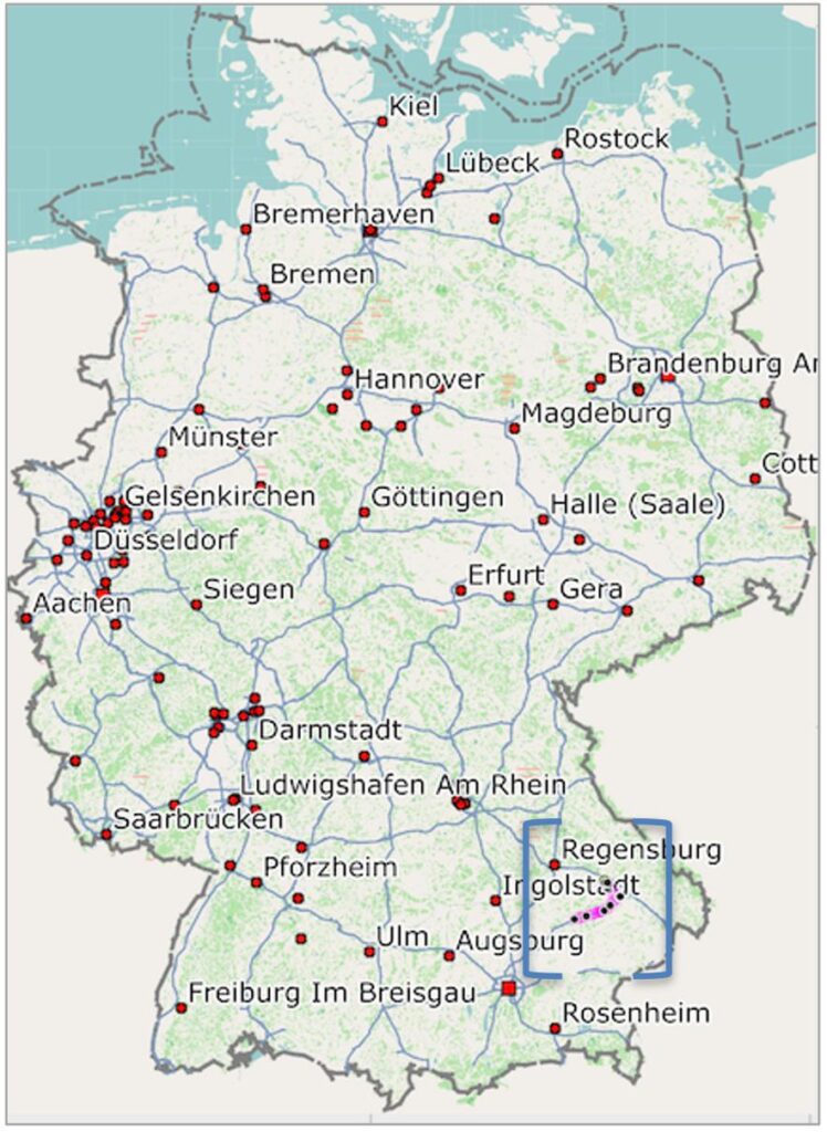
In addition to examining routes on maps, it is good practice to speak with local residents or farmers on site in order to identify additional routes that are not shown on maps. This is particularly important when considering access roads and temporary routes. For route planning, information on terrain and subsoil conditions is particularly important for ensuring the safe and successful execution of the transport.
During the route survey for the heavy-haul transport, a tractor driver drew our attention to a bridge that had only recently been completed and could therefore be taken into account in the route planning. Further discussions with people familiar with the local area also proved helpful during the route survey.
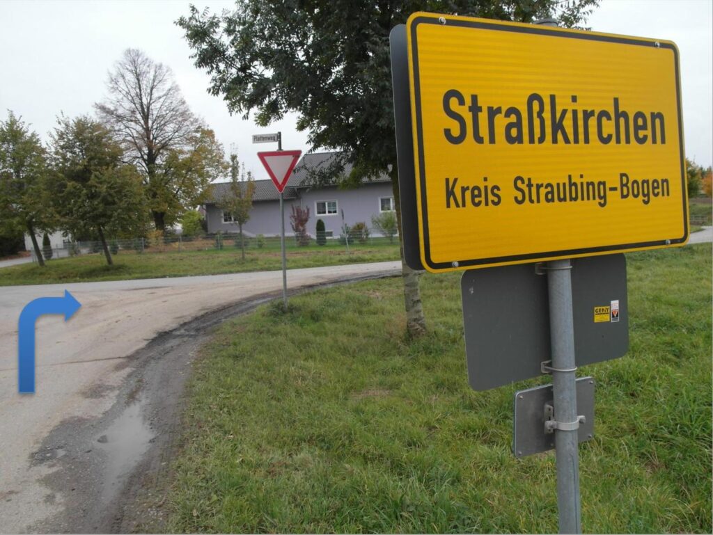
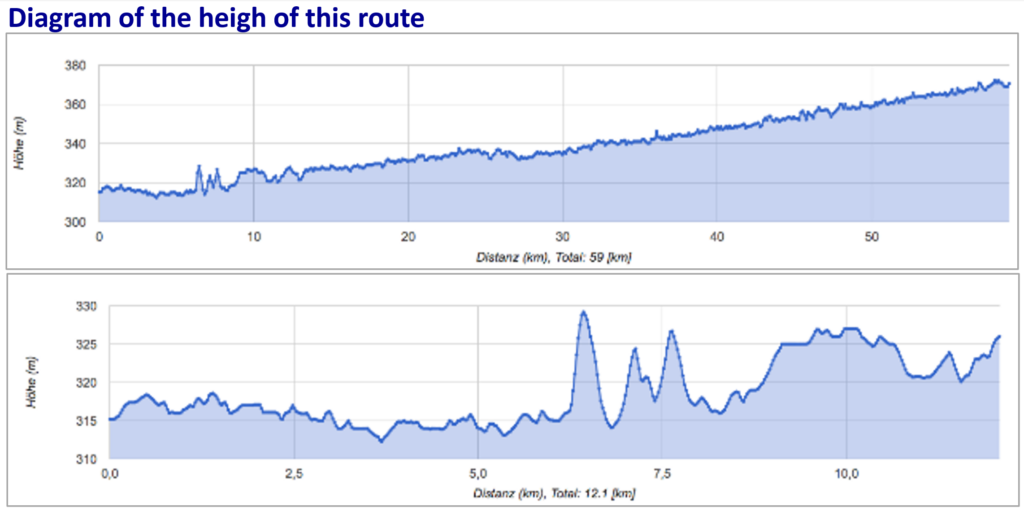
The review of the elevation profiles identified a problematic section of the route, which was overcome by increasing the number of tractor units.
A route survey report was prepared, containing, among other things, the following information:
Route Description
• Start and destination
• Total route length
• Sections / stages
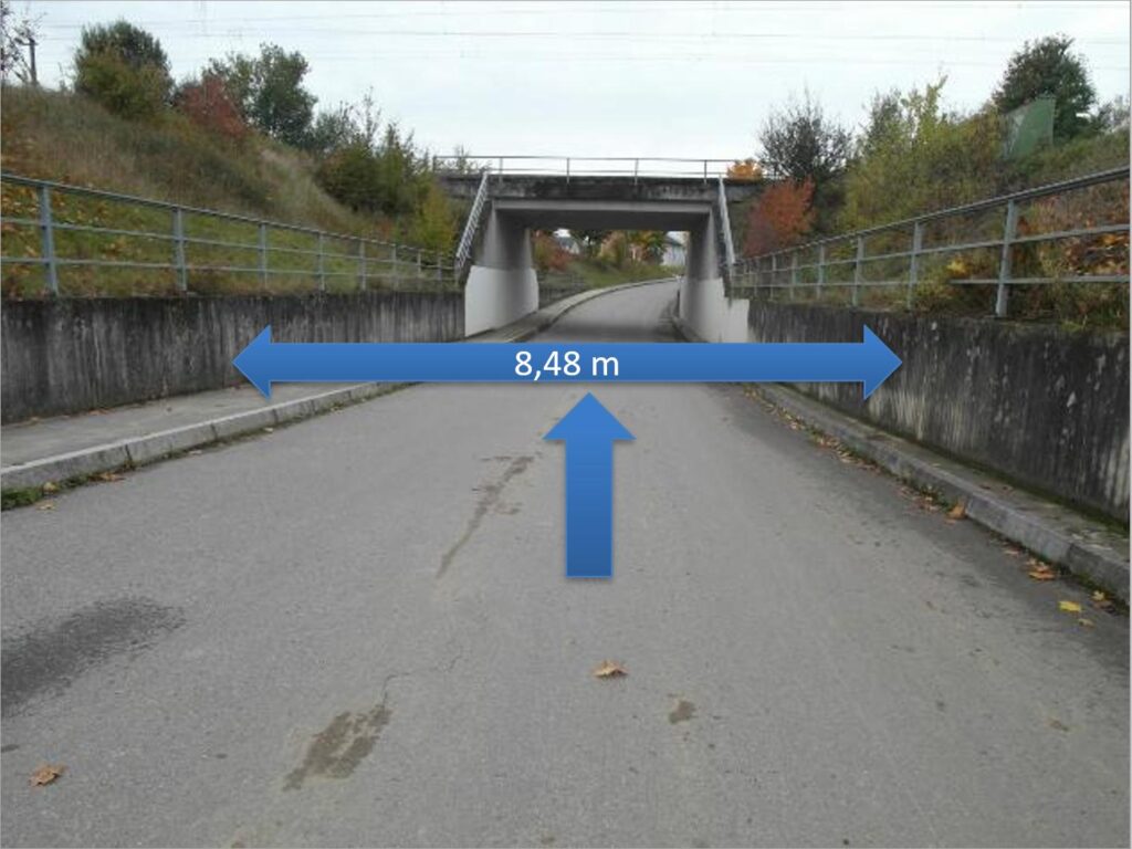
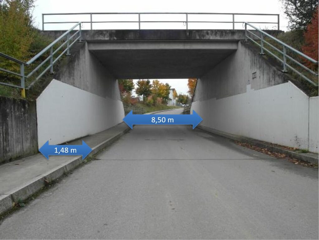
Infrastructure / Obstacles
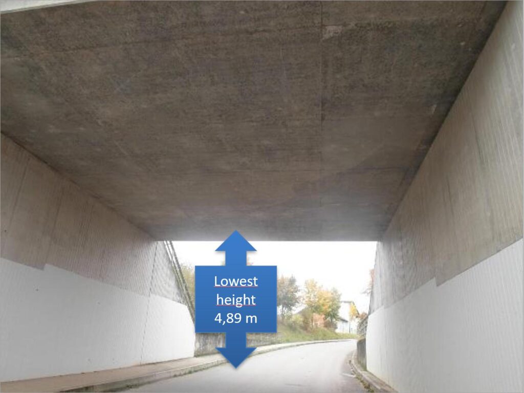
• Bridges (load-bearing capacity, height, width)
• Tunnels / underpasses
• Roundabouts / bottlenecks
• Traffic lights / traffic islands
• Construction sites / temporary restrictions
• Clearance heights of streetlights
• Electrical cabinets
• Guardrails / bollards
• Signs and warning barriers
• Fence heights
Technische Parameter
• Elevation profiles
• Gradients / inclines and declines
• Turning radii
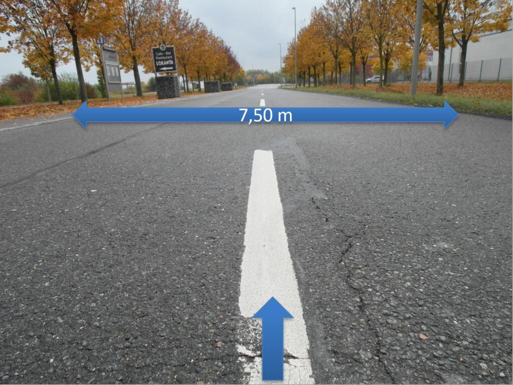
• Road widths
• Ground conditions (on secondary routes)
Transport-Related Requirements
• Vehicle combination (e.g. axle modules)
• Axle loads
• Turning manoeuvres / manoeuvring areas
• Escort vehicles / traffic safety measures
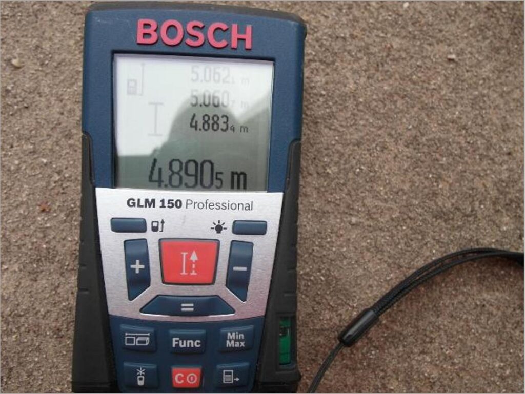
On-Site Information
• Information from local residents / farmers
• Unmapped routes / temporary routes
• Local particularities
(e.g. seasonal use of roads)
Traffic Measures
• Road closures / diversions / police escort
Assessment / Result
• Route suitability / critical points
• Recommended route
• Required modifications
Documentation
• Photographs / sketches
• Mapping material
• GPS data
• Notes from the site inspection
The necessary traffic management measures were also recorded, including the temporary removal of traffic signs – including those at railway crossings –, traffic light systems and the opening (cutting) of guardrails.
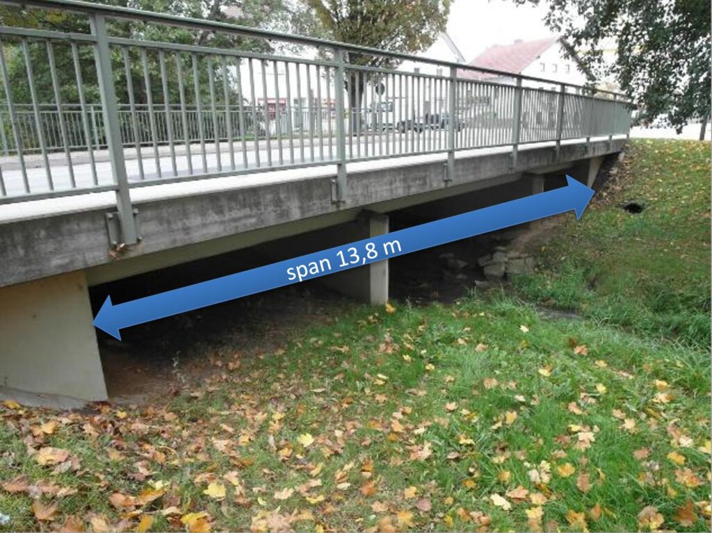
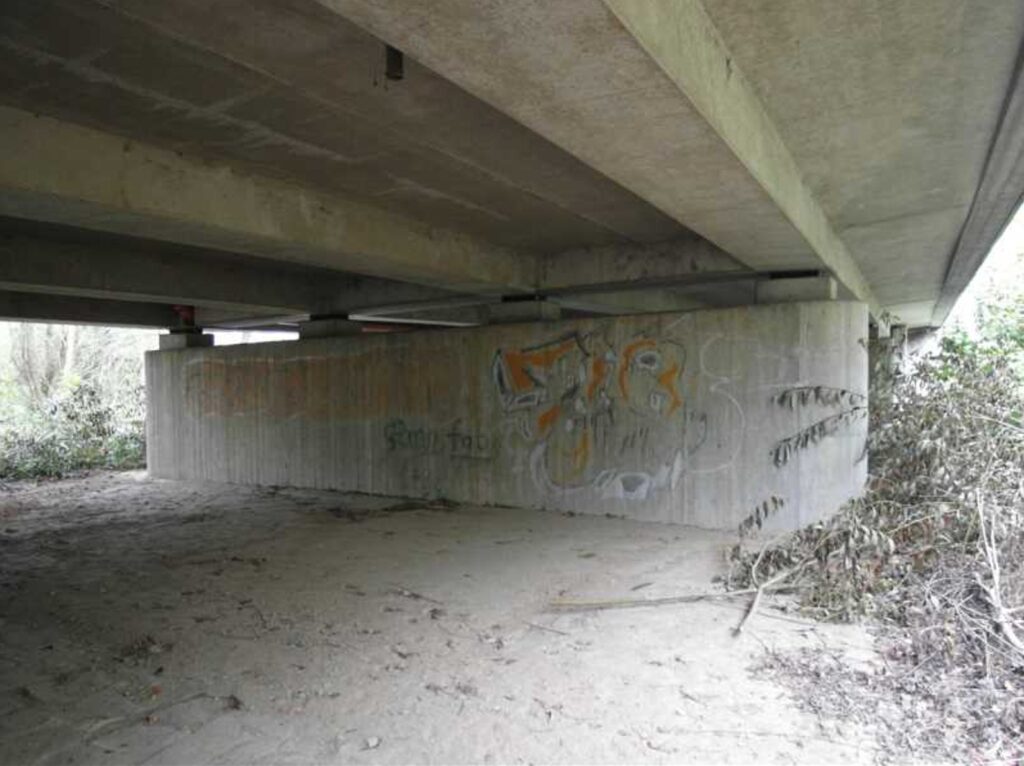
Following careful assessment, a suitable route with a total length of 71.5 km was established for the heavy-haul transport and documented, including the required traffic management measures.